With Both Floodwaters and Pandemics, Survival and Recovery Hinge on Being Prepared
FROM VOLUME 56, NUMBER 3 (2020)

FROM VOLUME 56,
NUMBER 3 (2020)
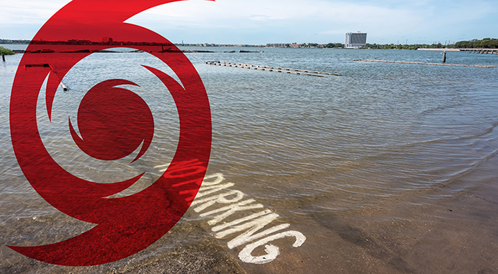
While we can’t minimize the force of an approaching hurricane or change the currents of its resulting deluge, we can reduce the magnitude of its impact and how it might blindside us. Predictive models are currently helping public health experts anticipate where and when coronavirus infections might peak, which has aided in resource allocation, timing for stay-at-home policies, and other planning. Similarly, computer software can also help forecast where to expect roadway flooding during a hurricane, tropical storm or other significant rainfall event. Researchers at the Texas A&M Transportation Institute (TTI) have developed such a warning system, which combines rainfall and stream elevation data with real-time traffic information, helping drivers alter travel plans and avoid flooded routes following extreme weather events. The system uses a comprehensive network of sensors to estimate areas of roadway flooding risk, as well as alert travelers to areas where the danger of flooding is high — in near real time. Sponsored by the Texas Department Transportation, system development was also supported by Houston TranStar partners including the City of Houston and the Harris County Flood Control District.
The tool can also serve as a route planning resource for essential emergency response functions; health care; and delivery of goods, fuel and water. A mechanism like that is especially important now, during a very active 2020 Atlantic hurricane season.
For more information, Contact